Facts
Official figures, not averaged.
Air-temperature records, satellite land-surface figures, Met Office thresholds and NSIDC ice-sheet numbers, each kept in its own official wording.
Official figures, kept in their original wording. Where two pages disagree, both rows stay.
| What | Official wording | Source |
|---|---|---|
| World lowest air temperature | −89.2 °C (−128.6 °F), Vostok, 21 July 1983, 77°32′S, 106°40′E, 3,420 m; formal review 2011 | WMO archive and 25 July 2025 table [source] [source] |
| A figure the WMO discards | −89.4 °C in some older tables, probably a conversion through −129 °F | WMO Vostok page [source] |
| NASA 2013 land-surface figure | Minus 136 °F (minus 93.2 °C), 10 August 2010, hollows on a ridge between Dome Argus and Dome Fuji | NASA release, 9 December 2013 [source] |
| NSIDC 2018 revision | Coldest sites actually reach −98 °C at the surface | NSIDC [source] |
| Northern Hemisphere air record | −69.6 °C (−93.3 °F), Greenland automatic station, 22 December 1991; eclipses −67.8 °C at Verkhoyansk and Oimekon | WMO [source] |
| Polar climate (Met Office) | No months averaging above 10 °C | Met Office climate zones [source] |
| Ice-cap climate (Met Office) | No months averaging above 0 °C; plants cannot grow; snow and ice accumulate and flow as glaciers; can also occur at great altitude | Met Office [source] |
| Polar climates (NOAA Jetstream) | Warmest month less than 50 °F (10 °C); northern coasts of North America, Europe and Asia, plus Greenland and Antarctica | NOAA [source] |
| Ice sheet definition | More than 50,000 square kilometres; one official page says 20,000 square miles, another 19,300 | NSIDC [source] [source] |
| Antarctic Ice Sheet area | Almost 14 million km² (5.4 million square miles) | NSIDC [source] |
| Greenland Ice Sheet | About 1.7 million km²; over 3 km thick; about 2.9 million km³ of ice; about 7.4 m (24 feet) of sea-level rise if it all melted | NSIDC [source] |
| Dry Valleys, NASA Science | Extremely low humidity and lack of snow and ice cover; Terra image acquired 8 December 2002 | NASA Science [source] |
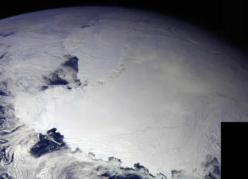
Sea-level numbers on the Greenland row are stored-water figures from NSIDC, not a timetable. For climate change as a subject, see climate-change.climates.im.
Enjoyed a desk of official cold records, ice caps, and a night that lasts a season?
No pop-ups. No intrusive advertising. Just interesting stuff. A little support helps the next climates.im site get built.