The Arctic
The Arctic, without repeating the tundra year-wheel.
Greenland still holds one of Earth’s two ice sheets. Sea ice still frames coasts such as Baffin Island. Tundra, including alpine tundra on British summits, stays at tundra.climates.im.
The Arctic is not a second Antarctica, and it is not a second tundra site. NOAA places polar climates on northern coastal areas of North America, Europe and Asia, and on Greenland and Antarctica. [source] The Met Office’s ice-cap climate “dominates the Arctic and Antarctic regions,” while tundra — with its short growing season and dwarf shrubs — is treated separately, including as alpine climate on British summits. [source] For the year-wheel of Arctic and alpine tundra, see tundra.climates.im.
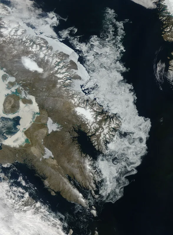
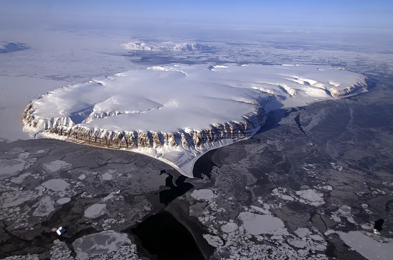
What this desk can add, without repeating that year-wheel, is the ice that still sits on the ocean and on Greenland. The Baffin Island image is a rare relatively cloud-free summer view, dated 30 July 2009, with eddies fashioning the ice into interlocking swirls. The IceBridge flight over Wolstenholme Fjord in April 2013 shows how uneven that cover can be, from thicker white ice to grease ice and open leads, in a single official caption.
The Greenland Ice Sheet, on NSIDC’s quick facts, covers about 80 percent of the world’s largest island, stretching across 1.7 million square kilometres (656,000 square miles) — about three times the size of Texas. At its thickest point it measures over 3 kilometres (1.9 miles) thick and contains about 2.9 million cubic kilometres (696,000 cubic miles) of ice. If the entire Greenland Ice Sheet melted, the same official page says, sea level would rise about 7.4 metres (24 feet). [source] That last sentence is a stored-water figure, not a forecast on this desk, and not a substitute for the climate-change site at climate-change.climates.im.
The official Northern Hemisphere air-temperature record is also Greenland’s, not Siberia’s any longer: −69.6 °C on 22 December 1991, recognised by the WMO, eclipsing −67.8 °C at Verkhoyansk and Oimekon. [source] The world record remains in Antarctica.
Enjoyed a desk of official cold records, ice caps, and a night that lasts a season?
No pop-ups. No intrusive advertising. Just interesting stuff. A little support helps the next climates.im site get built.