Antarctica
An ice-cap continent, with valleys that barely hold snow.
NSIDC gives Earth two ice sheets, in Antarctica and Greenland. The Met Office’s ice-cap climate is one in which no month averages above 0 °C. The Dry Valleys, on NASA Science, are named for extremely low humidity and a lack of snow and ice cover.
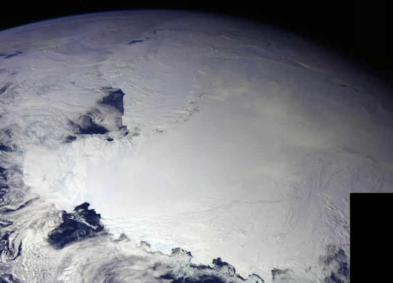
NSIDC says Earth now has just two ice sheets: one covers most of Greenland, the largest island in the world, and the other spans the Antarctic continent. An ice sheet, on that official definition, is a mass of glacial land ice extending more than 50,000 square kilometres. One NSIDC page gives that threshold as 20,000 square miles; another as 19,300 square miles. Both wordings are left as they are written. [source] [source]
The Antarctic Ice Sheet, NSIDC says, covers almost 14 million square kilometres (5.4 million square miles), roughly the area of the contiguous United States and Mexico combined. [source] The Galileo view above, taken on 8 December 1990, shows the Ross Ice Shelf in late spring, when, NASA/JPL’s caption says, the sun never sets on the continent.
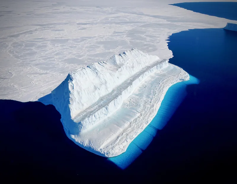
The Met Office’s ice-cap climate is the one that dominates the Antarctic and Arctic regions in its account: no months average above 0 °C, plants cannot grow, and snow and ice accumulate until they slide or flow elsewhere as glaciers. Ice-cap climates can also occur at great altitude, such as the highest Himalayan peaks. [source] That last official remark is easy to miss, and it is why “polar” on this desk is a climate, not only a latitude.
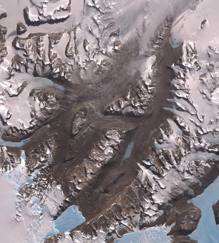
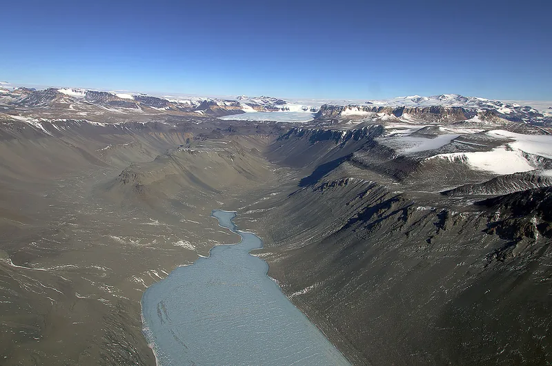
The Dry Valleys sit inside that icy continent and still barely hold snow. NASA Science’s wording is short and careful: a row of valleys west of McMurdo Sound, so named because of their extremely low humidity and lack of snow and ice cover, in an image acquired on 8 December 2002 by NASA’s Terra spacecraft. [source] A ground photograph of Wright Valley sits underneath, so the satellite still is not left to speak alone. A longer look at deserts, including Antarctica as a dry place, already lives at deserts.climates.im.
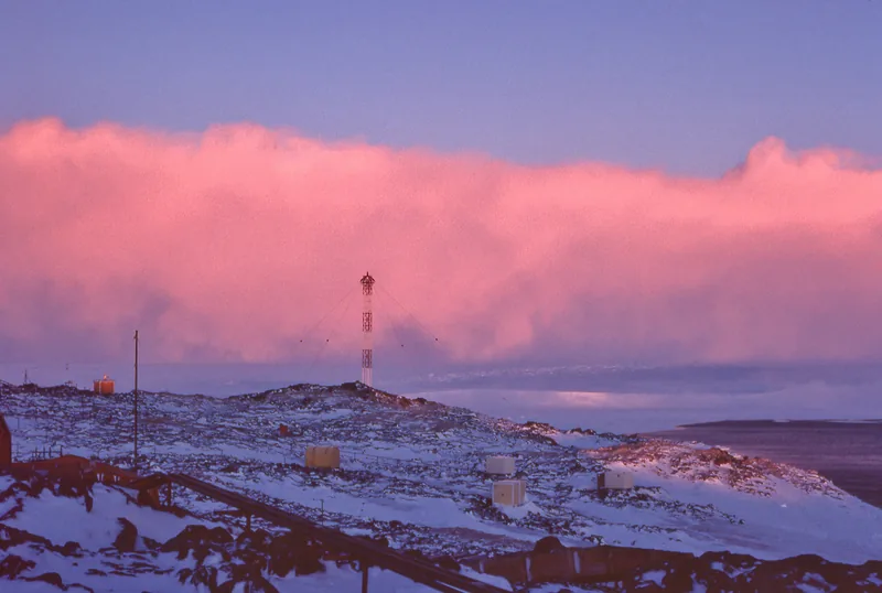
Dense cold air can drain off the plateau and arrive at the coast as a wall of blowing snow. The photograph above is from Dumont d’Urville in Adélie Land in 1977. The file caption names it a katabatic wind, taken in winter, with a low sun that “enhances a pink colour for the snow cloud.” It is a credited photograph, not a Met Office definition, and it is labelled as such.
Enjoyed a desk of official cold records, ice caps, and a night that lasts a season?
No pop-ups. No intrusive advertising. Just interesting stuff. A little support helps the next climates.im site get built.